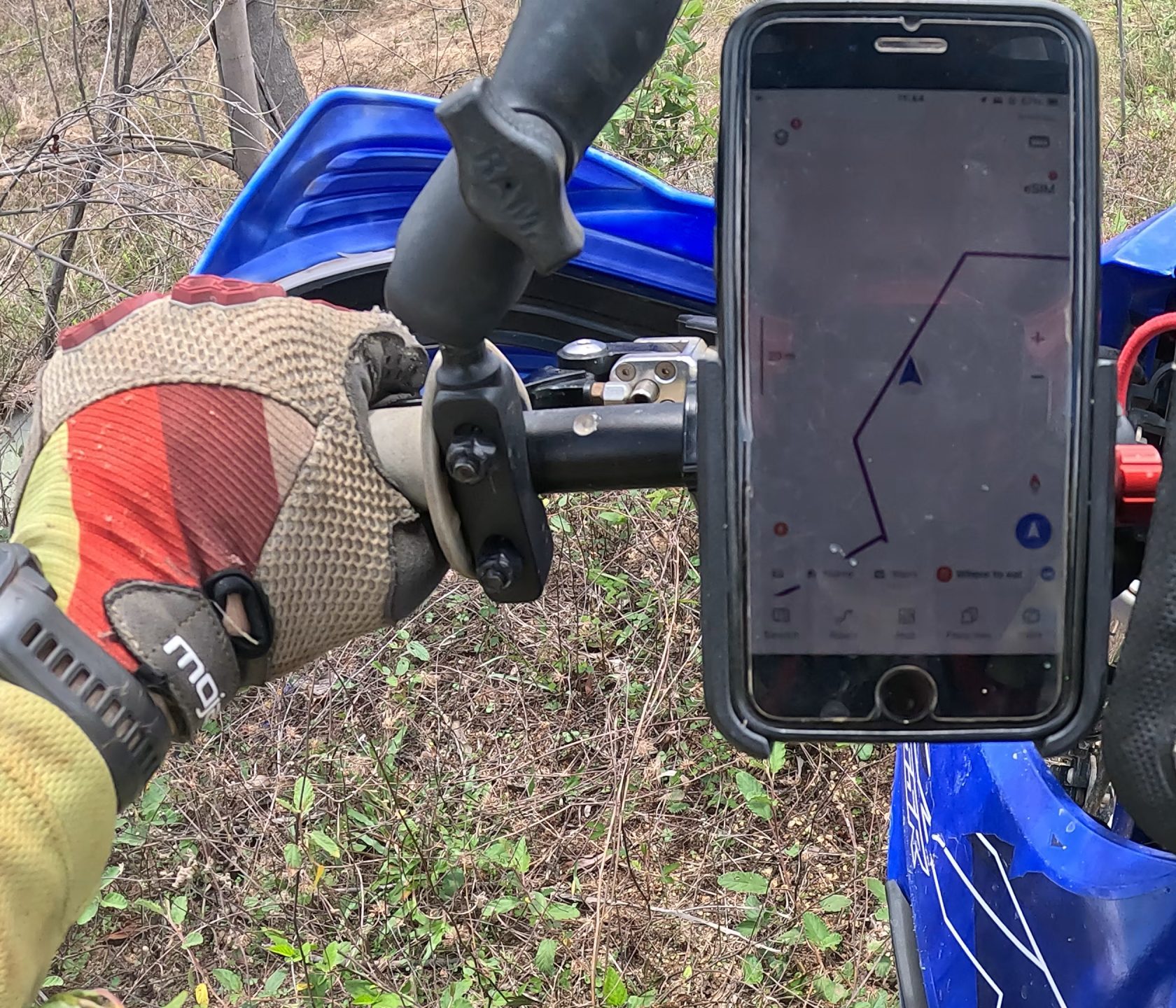
You decided not to use a dedicated GPS navigation device, and use a smartphone instead? In this section we present you three popular smartphone apps that run on both iOS and Android devices, support synchronizations between devices when logged in and support both KML and GPX track files.
I tested Guru Maps, MAPS.ME and Gaia GPS. Below, I listed both pro’s and con’s and wrote what I liked and disliked about each of them.
To spoil the result: If you are not willing to spend on a subscription MAPS.ME might be your best (and only) option, because Guru Maps only allows 15 tracks in the free version (including recorded tracks) and Gaia GPS basically does not work when you are out of signal without an internet connection. If you are willing to spend at least 27 EUR per year or a little over 2 EUR per month for an app subscription we think Guru Maps is the best choice among the three because it does everything exceptionally well.
Guru Maps
PRO
- Track recording function
- Customizable buttons on main page
- Zoom buttons on the left
- Show track direction on map
- No ads
- Can format tracks with color coding depending on speed/elevation, which is unique and interesting
CONTRA
- Only one map available
- Only 15 tracks in free version allowed, which makes the free version quite unusable, especially because recording a new track also counts towards this limit
- We wished that there were darker track colors to choose from. The ones that are available don’t have the highest contrast and are not easy to see, especially on phone screens on a sunny day
–> 27 EUR for yearly subscription
–> Requires subscription to use with more than 15 tracks, best paid option with very reasonable price
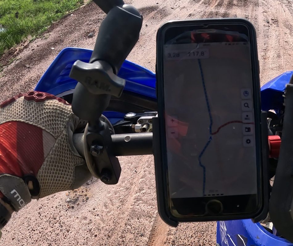
MAPS.ME

PRO
- Track recording function
CONTRA
- Auto-zoom annoying
- Advertising
- Export only to KML
- Only one topo map available
- Zoom buttons on right side
–> 45 EUR for yearly subscription
–> does the basics fine, has some downsides and but the pro subscription is overpriced for what you are getting
Gaia GPS

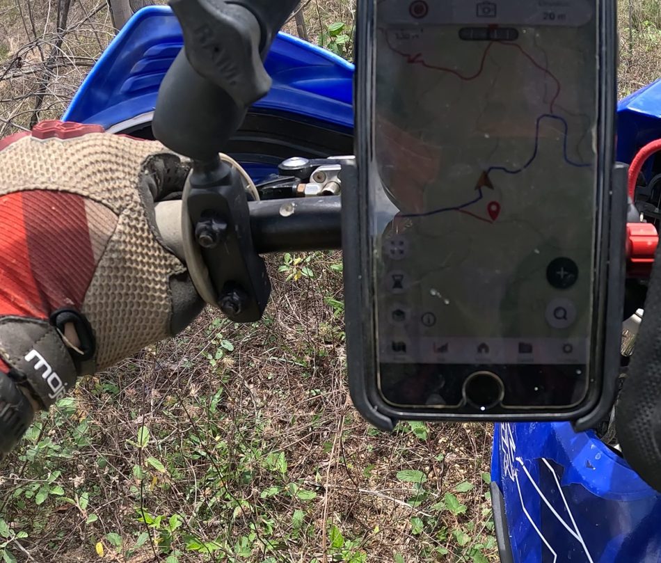
PRO
- Track recording function
- Easy to to take geotagged pictures and sync with the recorded track
- Variety of topo maps to choose from
- No ads
CONTRA
- Following a track when have a data connection works fine, when you’re out of signal it stops working and starts lagging which makes this app unusable for off-road navigation. Haven’t tested it with a subscription, but at least the free version failed my test big time!
- No zoom buttons on screen
–> 60 EUR for yearly subscription
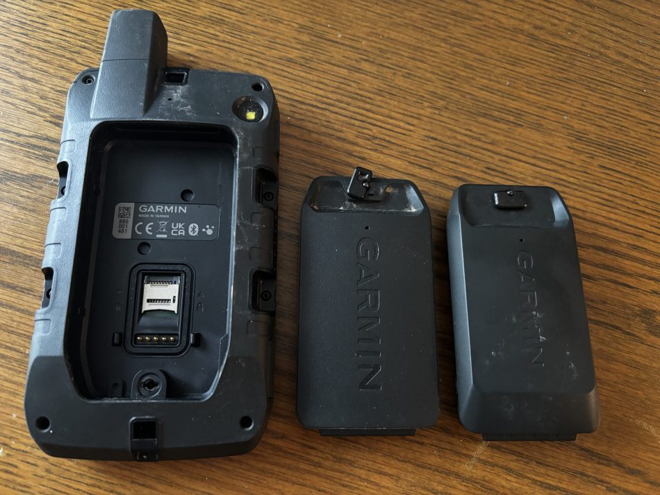
Considering using a dedicated GPS device for your off-road adventures?
Check out our article where we present four reasons why this might be a good move